Existing stores and exclusion radii
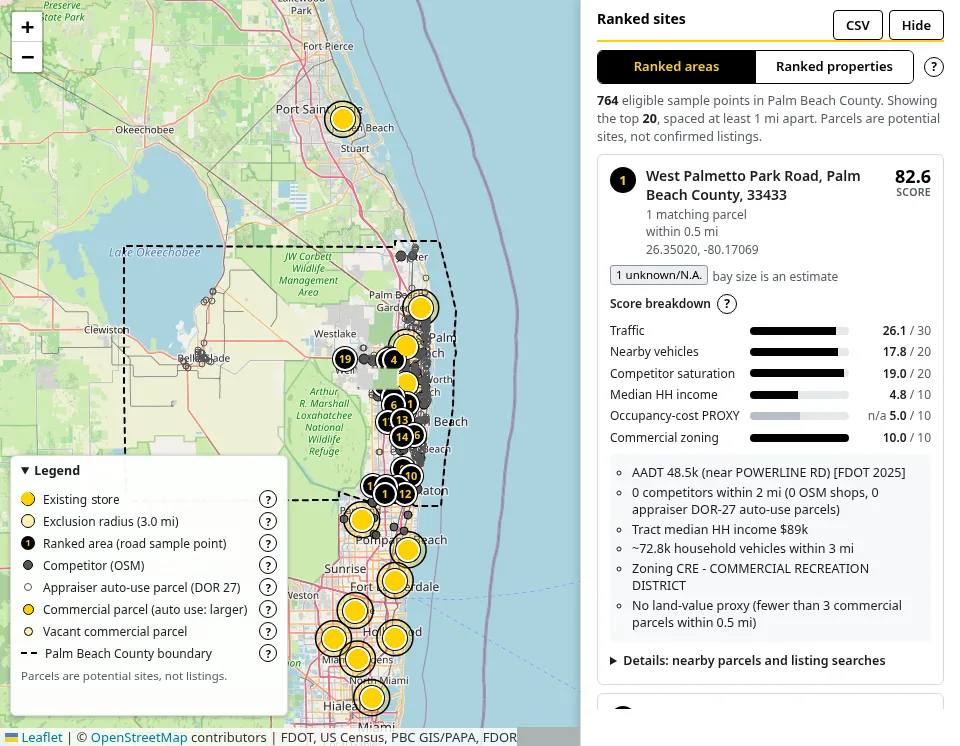
Existing locations are read from the brand's public store pages and cross-checked against OpenStreetMap. Each one gets an exclusion circle with an adjustable radius (default 3 miles, range 0.5 to 15). The radius is labeled as an assumption, because real territory terms live in franchise documents the tool has not seen.
Ranked areas along major roads
Candidate points are sampled every 0.4 miles along FDOT-counted roads in the county, with interstates, freeways, and ramps removed. Points inside any exclusion circle are left out.
Ranked properties
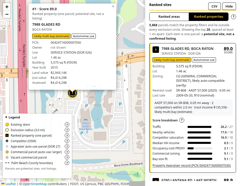
A second view ranks individual Palm Beach County Property Appraiser parcels that pass the property filters and lie outside every exclusion circle. Parcels are potential sites only. They are not confirmed listings, prices, or rents.
Live weighted percentile scoring
Each factor becomes a percentile rank among the sites that pass the filters, and the score is the weighted average × 100. Every weight is adjustable, and the map, ranked list, and match counts update as you change weights or filters.
Bay-size estimate
Parcel records don't include service-bay counts, so automotive and industrial/flex parcels are labeled likely multi-bay, likely single-bay, or unknown, based on Florida Department of Revenue building area and an adjustable cutoff (default 3,000 sq ft). The cutoff is shown as an assumption.
Mobile layout and context help
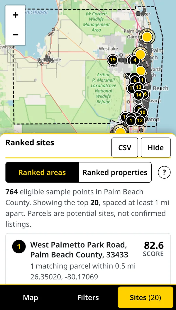
On a phone, the map, filters, and ranked sites sit behind a bottom tab bar. A "?" button next to each setting opens a short explanation of where its data comes from and how it is scored, and a "How to use" panel walks through the steps.